
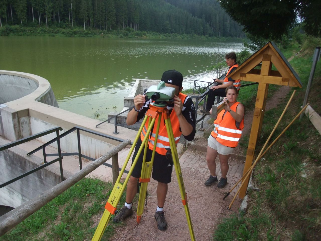
Geodesists and geographical information systems specialists are needed not only for classical surveying and delimitation of borders, but also for urban planning and urban development, navigation and mapping. The study program “Geodäsie und Geoinformatik” (Geodesy and Geoinformatics) of Karlsruhe Institute of Technology (KIT) is closely linked to practice at a very early stage already and it has a long tradition: For more than 125 years now, surveying exercises have been organized in the Black Forest. This July again, student teams of KIT collect data for topographic maps, plan redistribution of property, and train precision surveying near a reservoir.
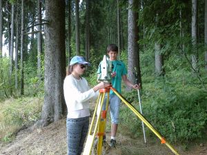
Tachymetry: Direction and distance measurement. (Photo: GIK)
[…]
More about the KIT Climate and Environment Center: http://www.klima-umwelt.kit.edu/english
In close partnership with society, KIT develops solutions for urgent challenges – from climate change, energy transition and sustainable use of natural resources to artificial intelligence, sovereignty and an aging population. As The University in the Helmholtz Association, KIT unites scientific excellence from insight to application-driven research under one roof – and is thus in a unique position to drive this transformation. As a University of Excellence, KIT offers its more than 10,000 employees and 22,800 students outstanding opportunities to shape a sustainable and resilient future. KIT – Science for Impact.