
Climate Change: Planning Tools for Climate Protection and Adaptation in Hesse
In an interdisciplinary research project, scientists from the Karlsruhe Institute of Technology (KIT), together with their partners from the Leibniz Institute of Ecological Urban and Regional Development in Dresden, have developed an innovative planning tool for the state of Hesse. The goal is to specifically support climate protection and adaptation measures in spatial planning. The project combines methods from remote sensing, artificial intelligence (AI), geodata analysis, and planning expertise. The results are generally transferable to other federal states.
AI Detects Roofs, Vegetation, and Water Surfaces
Using an AI-supported remote sensing model, the researchers mapped the entire land cover of Hesse at a resolution of up to 20 centimeters. The model accurately identifies roofs, sealed infrastructure such as roads and bridges, partially sealed and unsealed surfaces, vegetation heights, and water bodies. These data form the basis for further detailed analyses.
“With our results, we provide an objective, high-resolution foundation for decision-making that helps states, regions, and municipalities to plan measures in a targeted way,” explains Dr. Sina Keller from the Institute of Photogrammetry and Remote Sensing (IPF) at KIT. “It was important to us to use freely available data wherever possible and thus lay the first building block for a monitoring system based on modern remote sensing methods.”
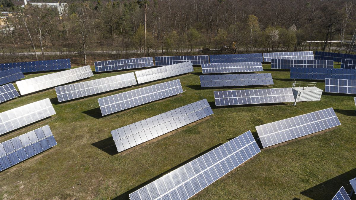
Potential for Photovoltaics and Climate Protection
In addition to climate adaptation, the researchers also analyzed potentials for climate protection. A multi-layered analysis model identified suitable areas for ground-mounted photovoltaics, taking into account nature conservation and water bodies. They also used AI to classify large parking lots based on their suitability for photovoltaic systems.
The project was funded by the Hessian Ministry for Economic Affairs, Energy, Transport, Housing, and Rural Development.
jho, August 21, 2025